
LOTS 196–197 / J-13 BRAVO
The location.
The reasoning.
The architecture and purpose have evolved. The parcel reconstruction, terrain reference and mapping questions remain part of the project.
These are the working dimensions of the conceptual reconstruction, not a legal survey. The advertised combined deed acreage is 3,555.16 acres; the calculated area is about 9,301 acres. Both figures remain visible in the atlas and locator explanation.
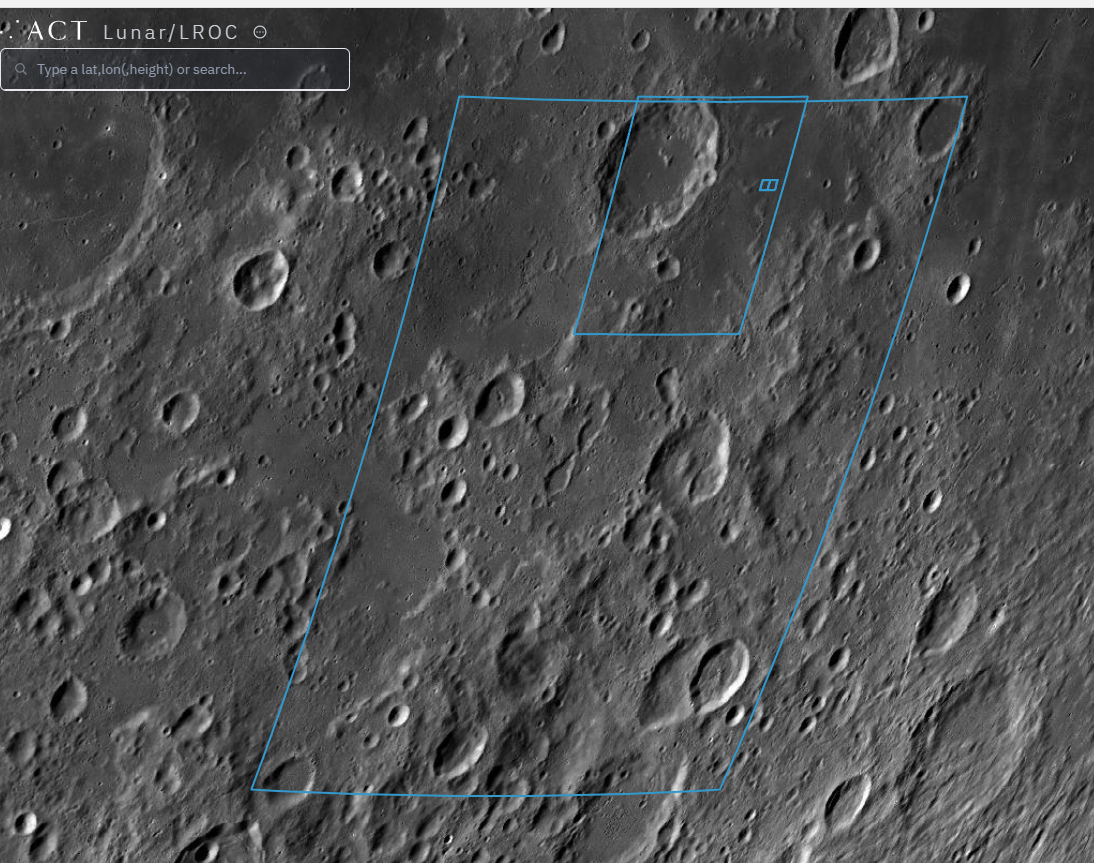
TERRAIN & GEOGRAPHY
Different layers.
Different evidence.
The terrain screenshot, calculated property grid and architectural masterplan serve different purposes. The atlas keeps those layers separate and explains their limits.
Nine recorded terrain samples do not establish continuous topography; their original point coordinates are not included in the uploaded website package. The imagery should not be read as a terrain survey.
03 / A LARGER POSSIBILITY
What if J-13 had neighbours?
This began with two old novelty deeds. But if other J-13 holders mapped their parcels and created their own terrain-informed concepts, the exercise could grow into a shared lunar neighbourhood—one where infrastructure and adjacent plans begin to connect.
Not legally recognised ownership. A collaborative design experiment tied to real lunar geography.
46.212121°–46.515152° EJ-13 / Quadrant Bravo · reconstructed parcel coordinates
J–13
Two lots.One beginning.THE NEIGHBOURHOOD IS STILL IMAGINARY.
THE MOON IS NOT.
Mapping credit: Adapted from Lunar Embassy calculator conventions. This independent reconstruction may contain mistakes. The best reference for the original calculator is the Lunar Embassy Luna Program. Calculated area (37.64 km²) differs from the advertised 3,555.16 acres. Read the mapping notes.
Project status: Independent creative and technical concept study. Imagery depicts proposed structures, not existing lunar installations. Lunar Embassy deed references are novelty claims and are not legally recognised lunar land ownership. Grid boundaries and technical assumptions are preliminary and not surveyed or engineering-certified.